2021-Oct-04
IJC Profiles the Work of GLARS Mapping Great Lakes Wetlands From Space
 The Great Lakes coastal wetlands are part of the largest surface freshwater reserve in the world. Due to their dynamic nature, these wetlands are particularly vulnerable to change.
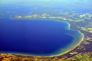
The Great Lakes Alliance for Remote Sensing (GLARS) is a binational group of agencies, organizations and universities working together to develop a framework to better measure wetland changes including using satellite imagery to track the health of Great Lakes wetlands from space. This effort is designed to help aid wetland managers as they work to protect and restore these vital pieces of habitat for aquatic life. Additionally, experts say monitoring from space is more cost effective than field monitoring.
Read about the technology and partners here, and an IJC report on progress here.
